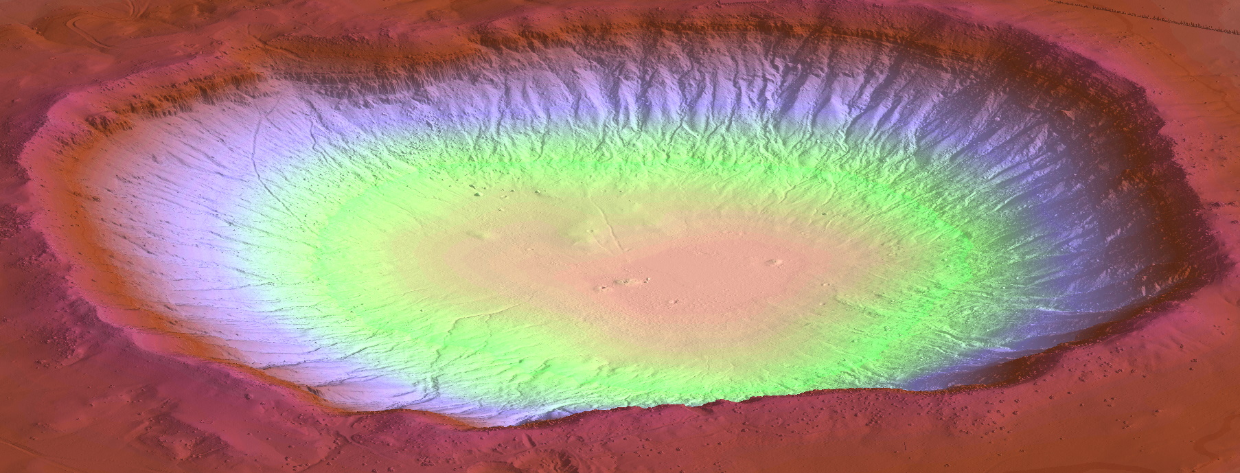
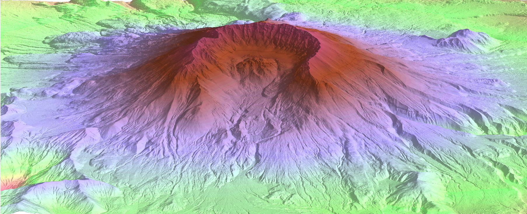
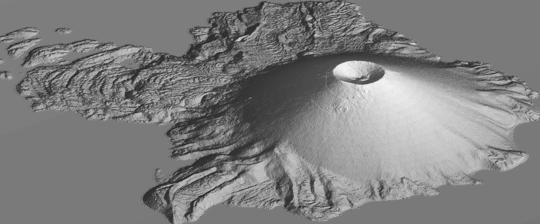
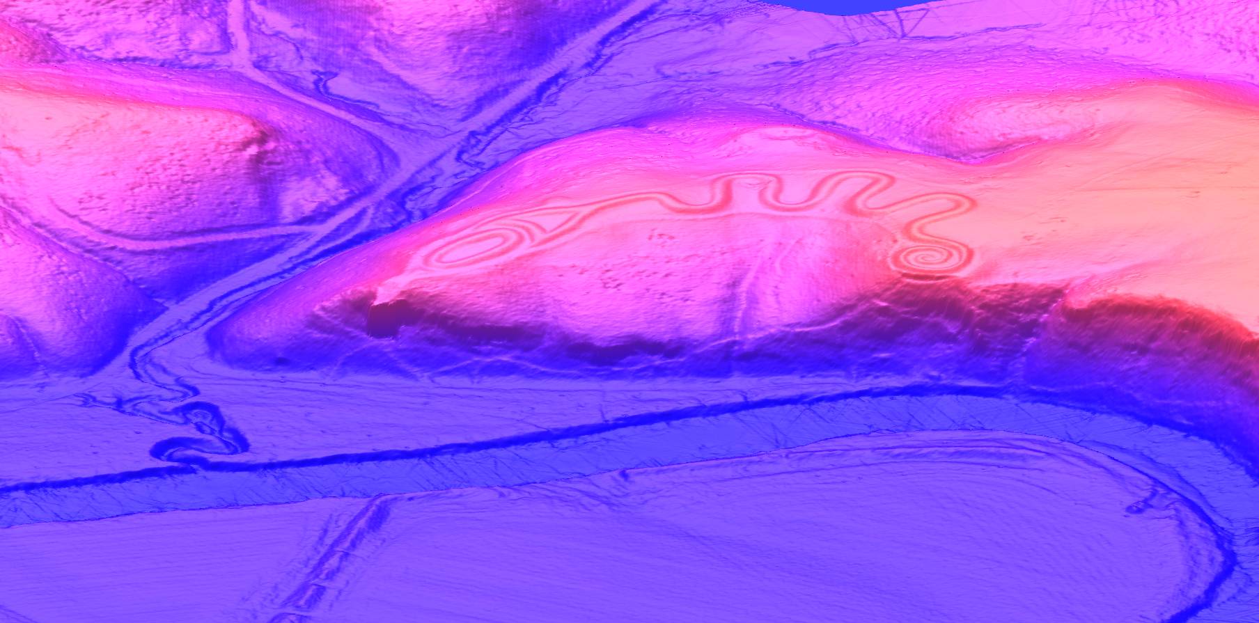
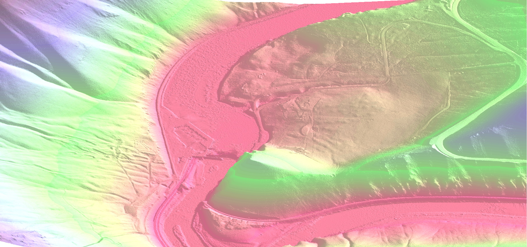
Digital Elevation Models and Contour Maps
-
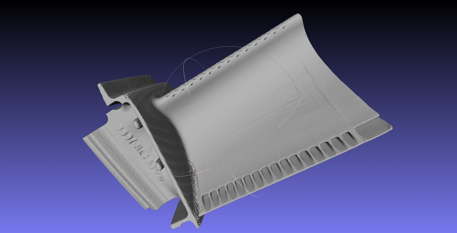
Turbine Blade
-
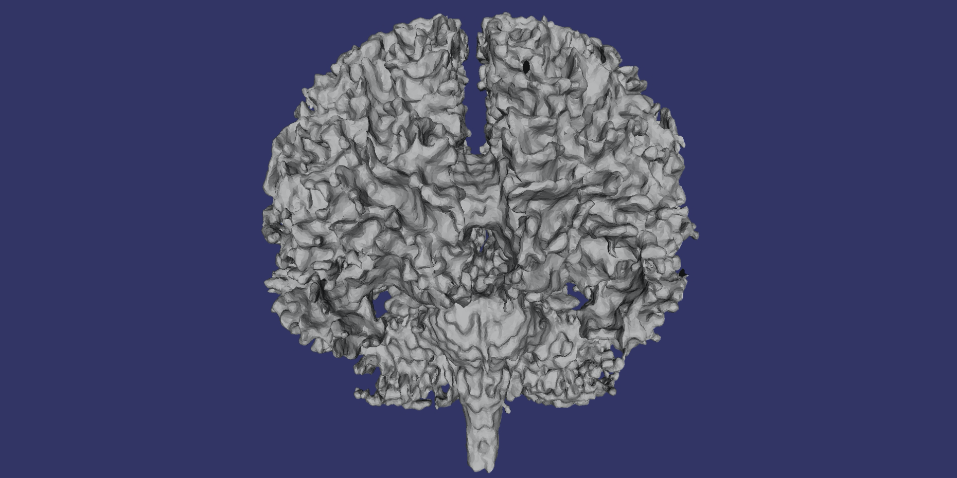
Brain
-
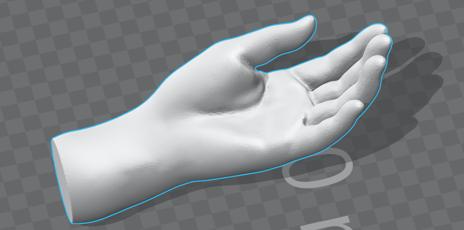
Hand
-
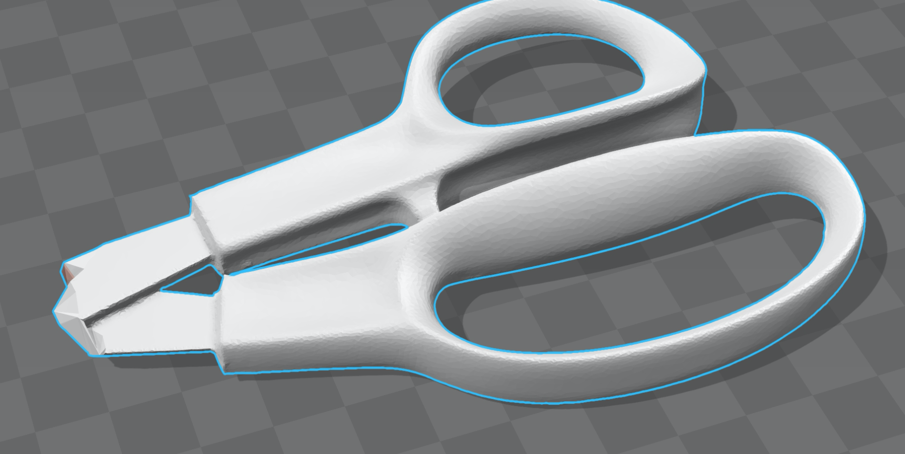
Scissors
RAW XYZ point cloud to 3D Model Batch Converter - Ball Pivot Surface Reconstruction ASC STL
Batch Convert LIDAR Point Clouds to DXF Point Clouds - AutoCAD LAS LAZ
LIDAR to DXF Contour Map - Contours from LIDAR
Batch convert LIDAR to 3D terrain models - LIDAR contour map grid AutoCAD DXF ArcInfo
Create a 3D terrain model from LAS LIDAR files. DXF map LAZ ArcInfo AutoCAD OSX Windows
Load a 3D terrain model into QWTPlot3D. DXF ESRI remote sensing LAS AutoCAD OSX contour map
PDAL Ground Classification Tool - Automated Ground Classification Identification LAS LAZ
LIDAR to 3D Model - point cloud DXF ESRI ArcInfo grid AutoCAD LIDAR terrain remote sensing contour