-
 LIDAR Contour Mapping, Terrain Surface Modeling
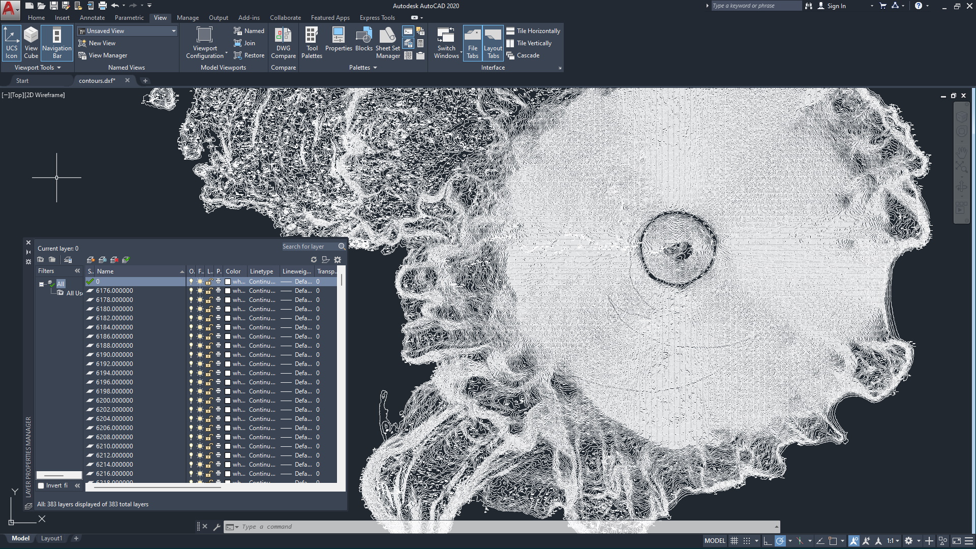
and Ground Return Classification and IdentificationContours of Wizard Island -
 LIDAR Contour Mapping, Terrain Surface Modeling
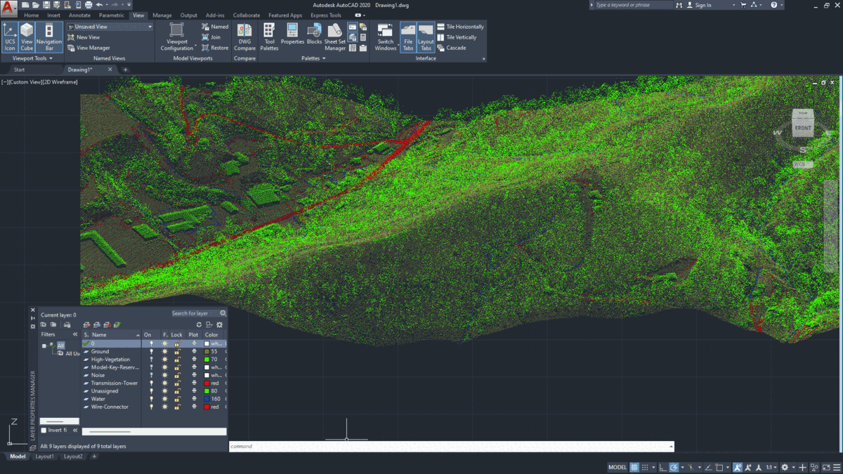
and Ground Return Classification and IdentificationLAS to DXF Point Cloud Conversion -
 LIDAR Contour Mapping, Terrain Surface Modeling
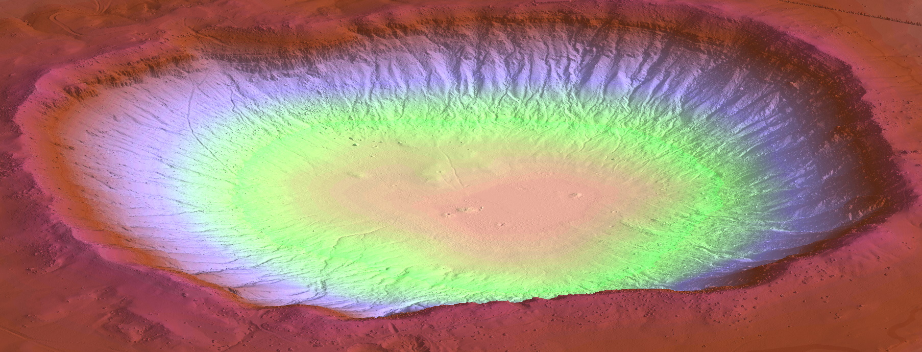
and Ground Return Classification and IdentificationMesh of Meteor Crater, AZ -
 LIDAR Contour Mapping, Terrain Surface Modeling
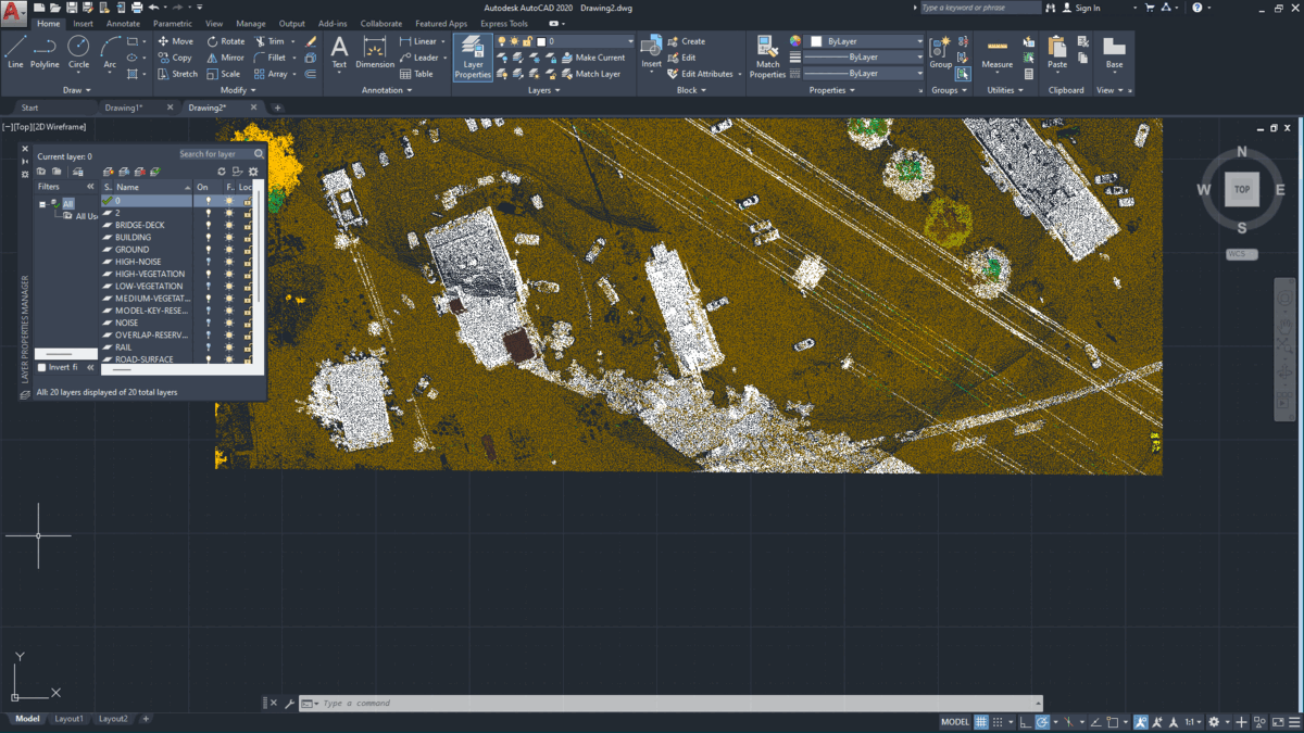
and Ground Return Classification and IdentificationPoint Cloud Standard Classification Colors or TrueColor -
 LIDAR Contour Mapping, Terrain Surface Modeling
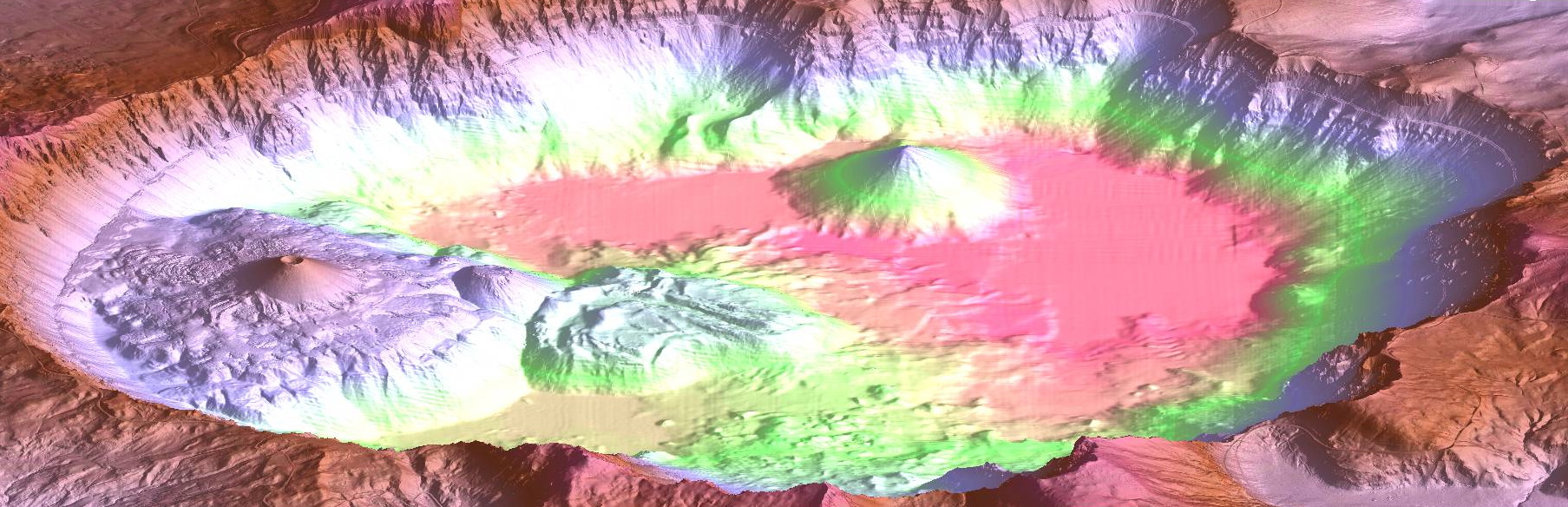
and Ground Return Classification and IdentificationMesh of Crater Lake, OR
Fast
LIDAR Widgets can generate a DXF terrain model or contour map in minutes. Perfect for aerial drone surveyors. Need to convert LIDAR point clouds into AutoCAD point clouds? We have an app for that too.
Batch Conversion
Batch conversion of LAS/LAZ files into Terrain Surface Models (DEM's), Contour maps, DXF point clouds and ArcInfo meshes. LIDAR Widgets will also process standard ASCII XYZ files.
Affordable
Prices starting at just $400 USD for a lifetime perpetual license. AutoCAD is NOT required. Detailed pricing can be found here.
Full Support
LIDAR Widgets offers free lifetime tech support on all their apps.
Fast, 64-bit Performance
LIDAR Widgets were written in high performance C/C++ for 64 bit systems running Windows 7 or greater. System requirements.
Conversion as a Service
Have just a few files that need converting? Let us convert them for you.
The only solution
LIDAR Widgets is the only cost-effective and timely solution for batch converting large numbers of LIDAR files into contour maps and 3D models. It has successfully converted over 3000 LAS files into contour maps in less than 8 hours. It can convert a single LAS file composed of over 50 million points into a model or contour map in less than 3 minutes.
Contact